Welcome to Melbourne Water's Digital Innovation Hub API Portal
A Digital Innovation Hub initiative
A Digital Innovation Hub initiative
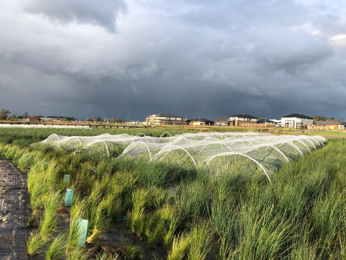
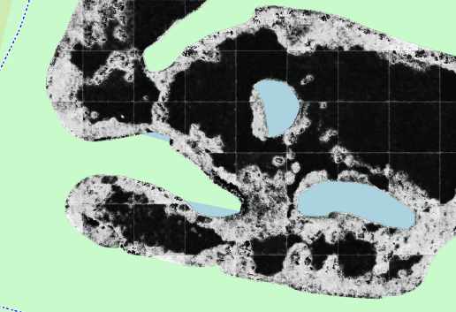
The Wetlands Analytics Visualisation Environment (WAVE) is an analysis platform that processes aerial imagery of wetland assets, and assesses them for different algorithms such as plant installation count and density, or mature vegetation detection, using artificial intelligence.
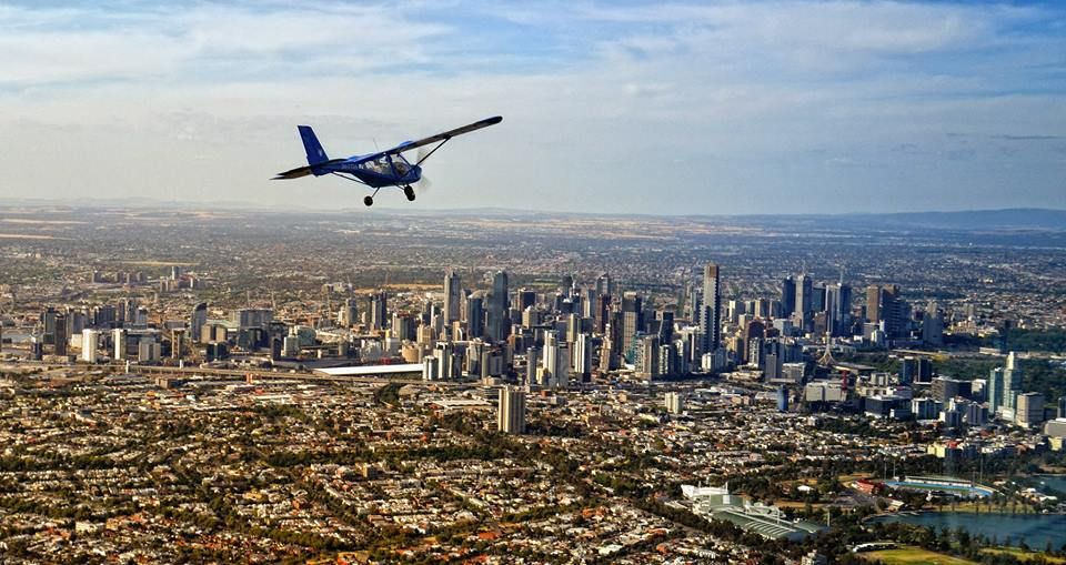
High resolution imagery is sourced from our technology partners, who survey the greater Melbourne area multiple times per year, with data being assembled into orthomosaics. Resolution is considerably better than satellite imagery, and spans a significant time period of many years.
We perform plant installation using the computer vision library OpenCV, looking for high contrast regions of interest representing individual juvenile plants at time of installation. Identified regions (representing one plant) in close proximity are aggregated together using Skimage blob detection.
Mature plants are detected using a Mask-RCNN custom classifier, able to detect plants, nets, buildings and surrounding structures. Heat maps are generated for both plant installation and vegetation detection against pre-defined business metrics.
High resolution imagery from our technology partners with a full history back to the original construction of the wetland
The WAVE API conforms to industry standards allowing developers to consume endpoints with path parameters. Data is returned in JSON format.
GET /api/asset/getassets

{
    "name": "Ramlegh Springs Wetlands",
    "asset": "2371-74",
    "longitude": "145.33725",
    "latitude": "-38.105333",
    "stage": "develop"
}
Powered by Azure API Management.